Aerial Photography.
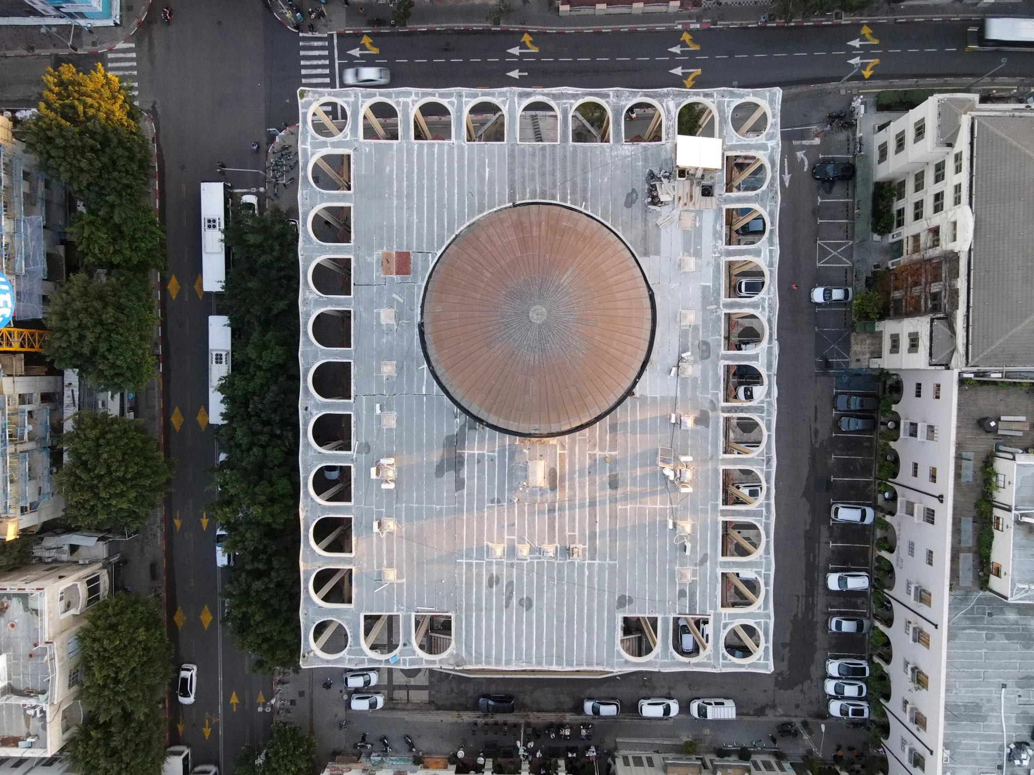
Architecture, cities and infrastructure seen in context. Considered aerial imagery for architects, developers, hospitality brands and companies that need to communicate a project from a different perspective.
עברית ↗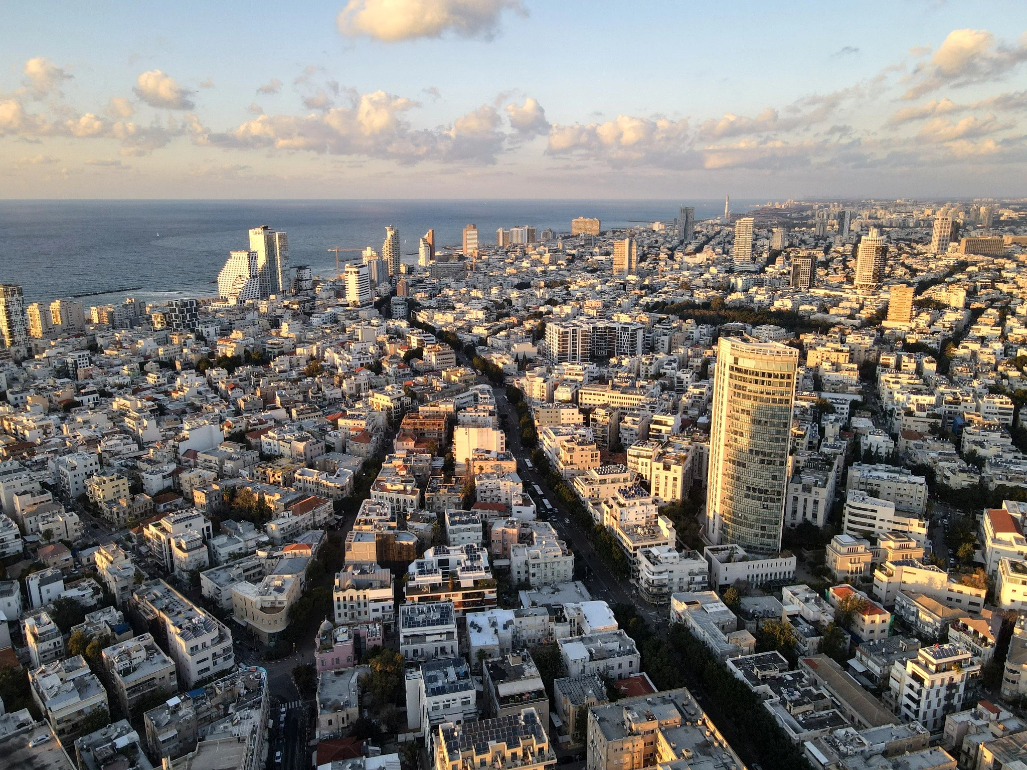
Tel Aviv / Afternoon light
01 / The view from above
The bigger picture
behind the details.
The value of an aerial image is not simply altitude. It is an understanding of geometry, light, scale and the relationship between a project and its surroundings.
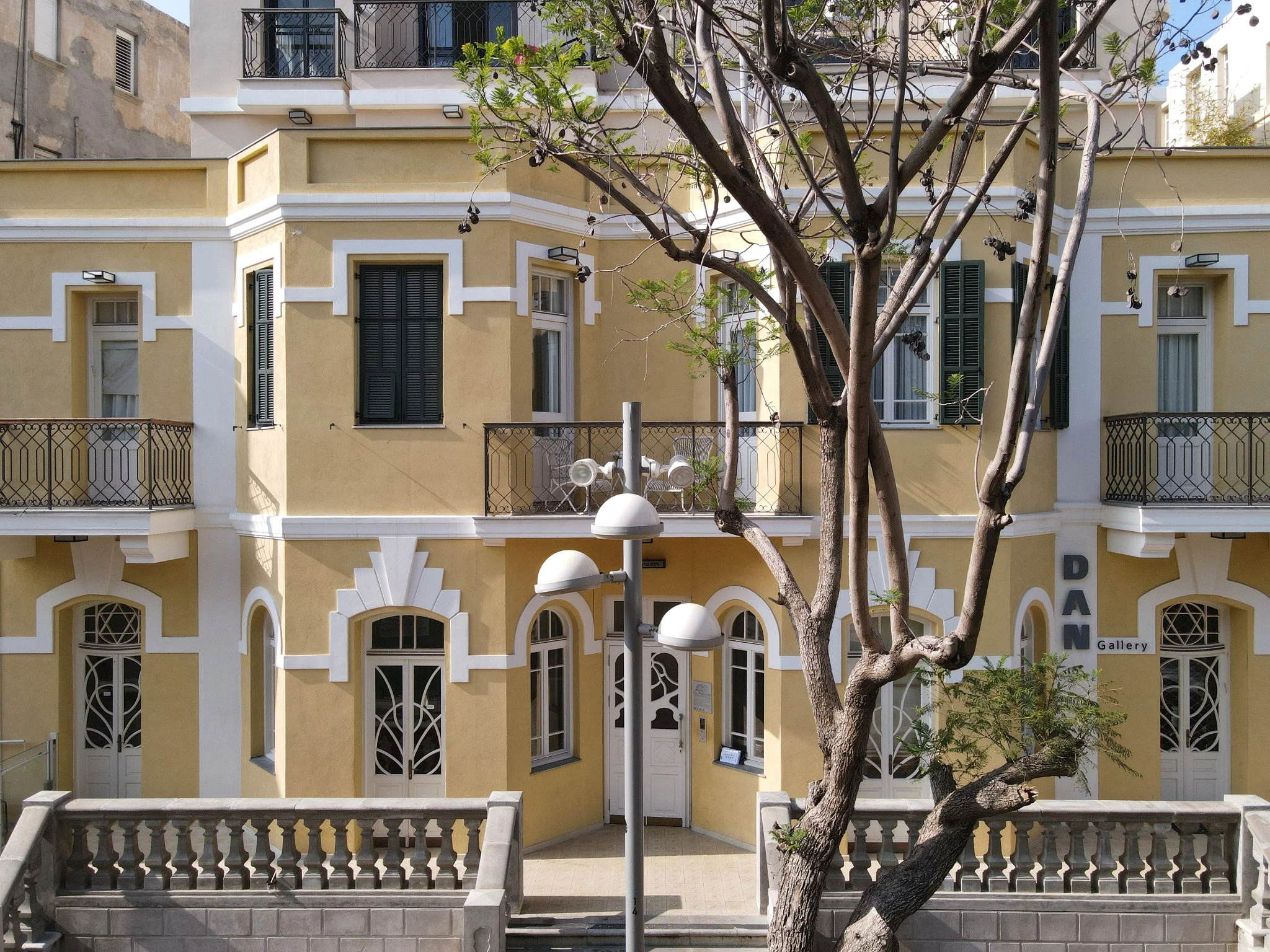
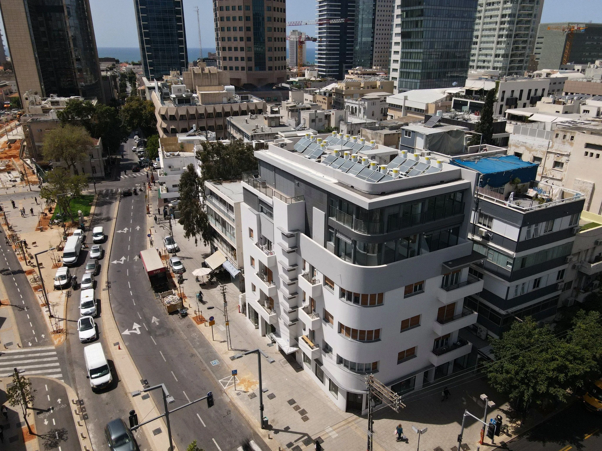
Architecture & Urban Contextאדריכלות והמרחב העירוני
Buildings, streets and city fabric — composed to reveal scale, form and context.ממבט רחב על העיר ועד למבנה בודד. צילומים שממחישים את היחסים בין בניינים, רחובות, אור וקנה מידה.
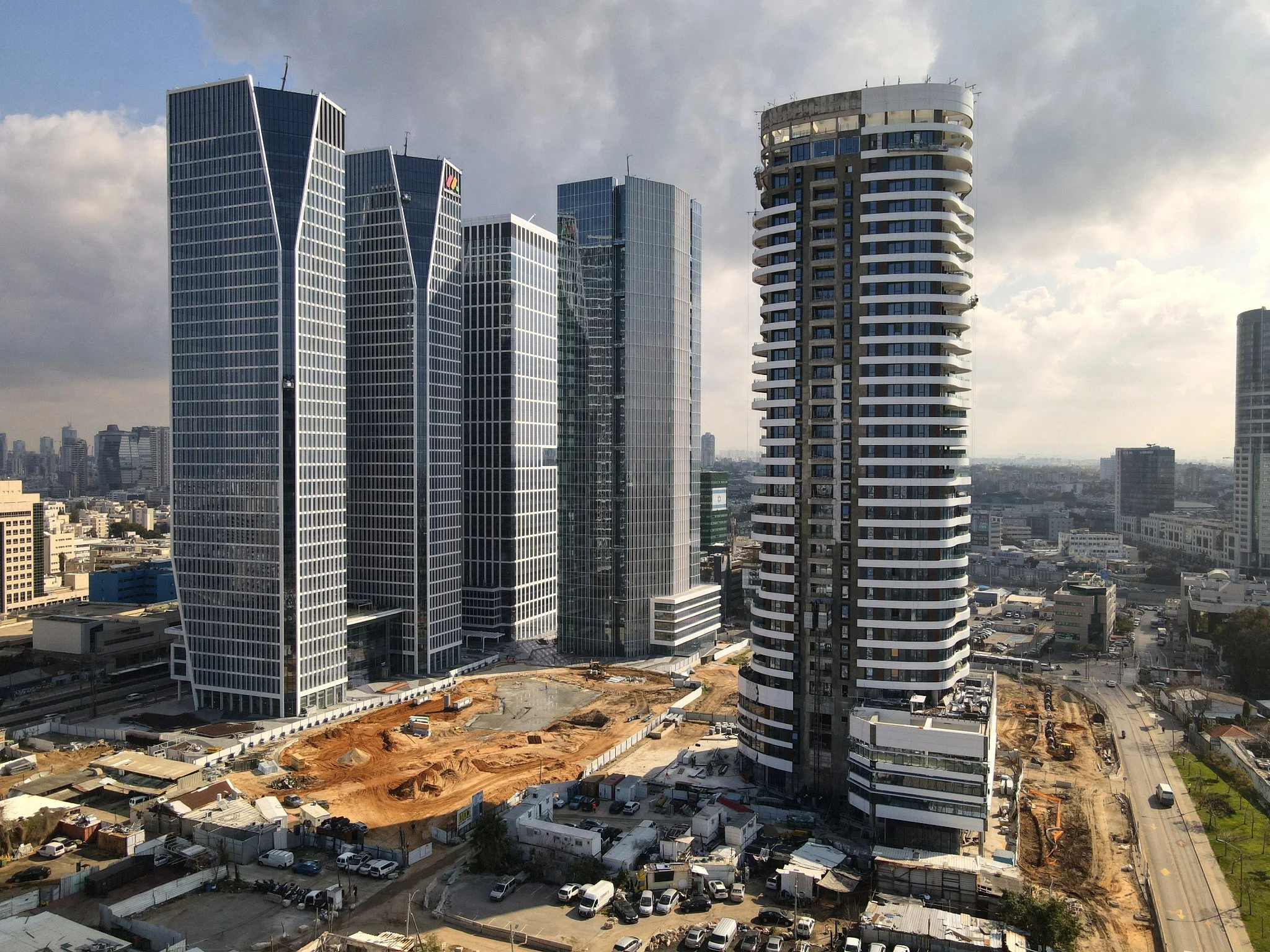
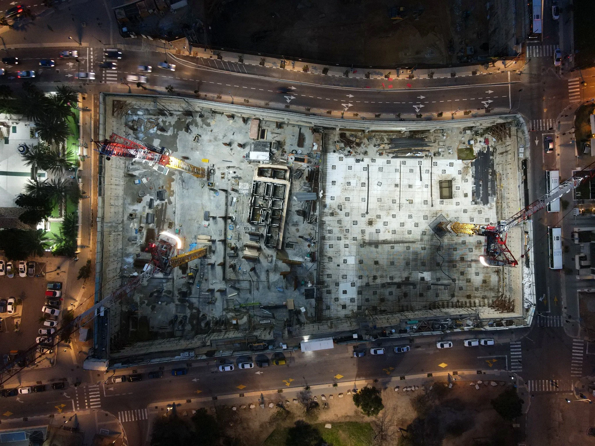
Construction & Infrastructureבנייה ותשתיות
Distinctive perspectives on development sites, complex structures and infrastructure.מבט כולל על אתר הבנייה, מערכות ותשתיות — לצורך הצגת פרויקטים ותיעוד חזותי לאורך הדרך.
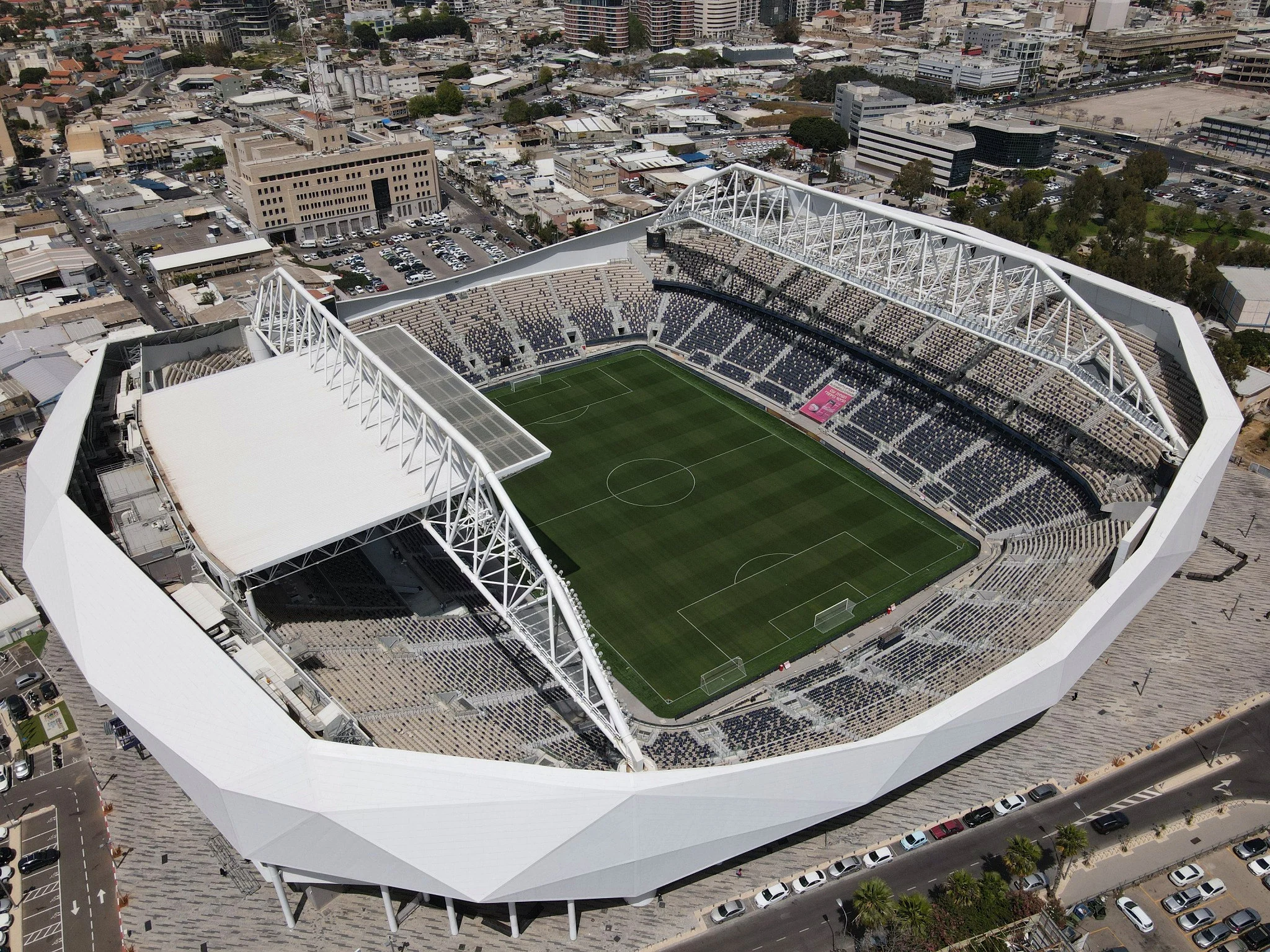
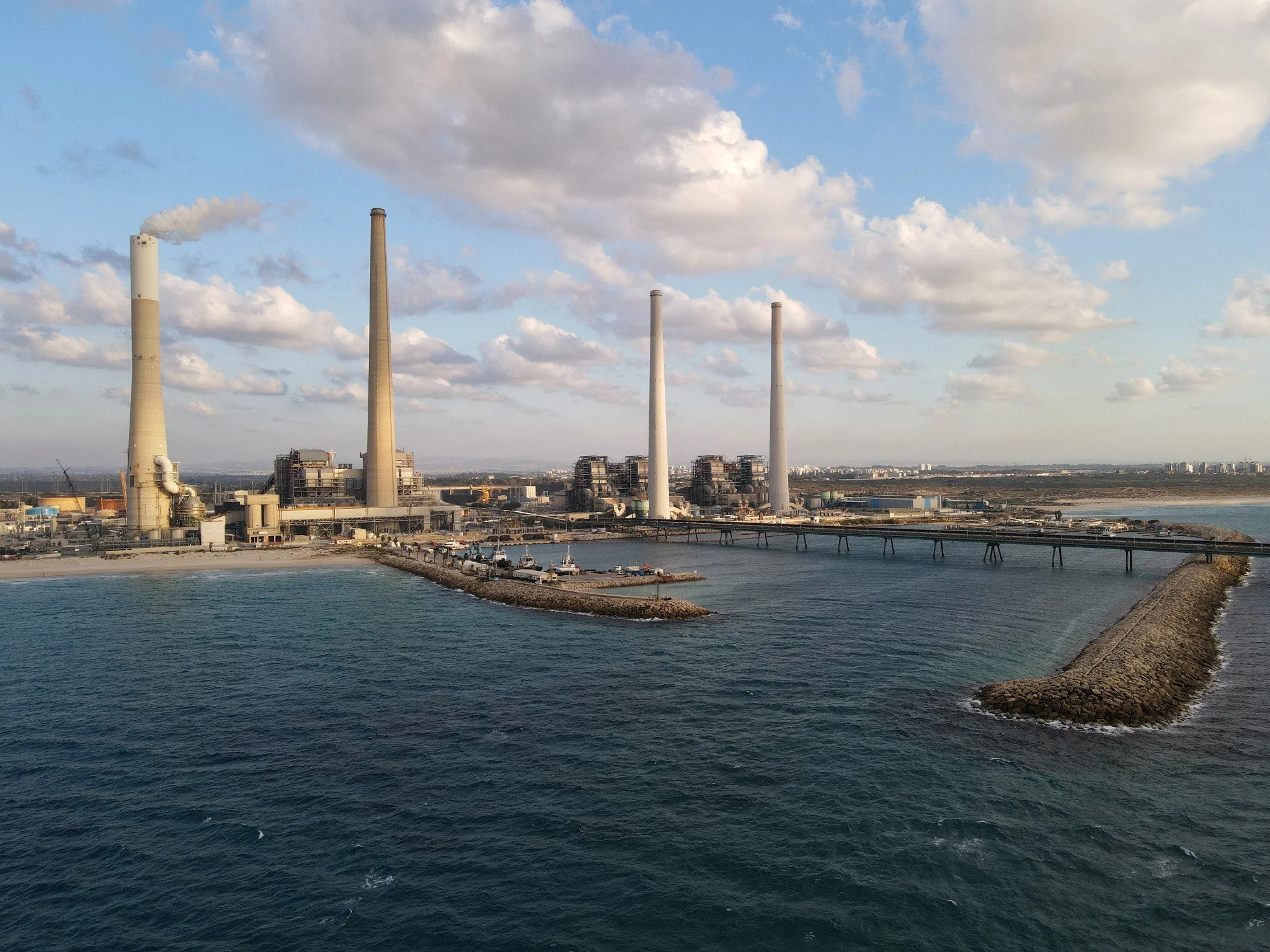
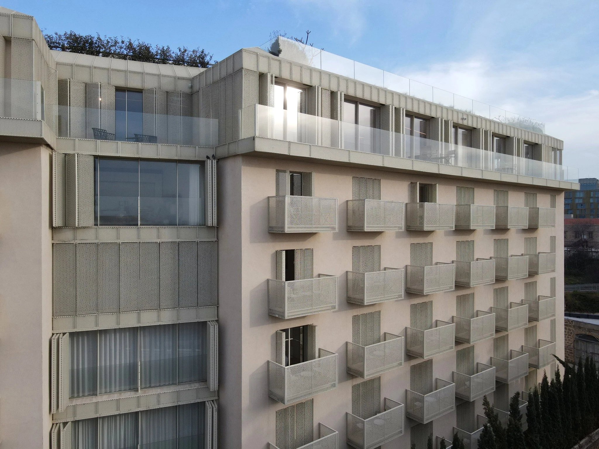
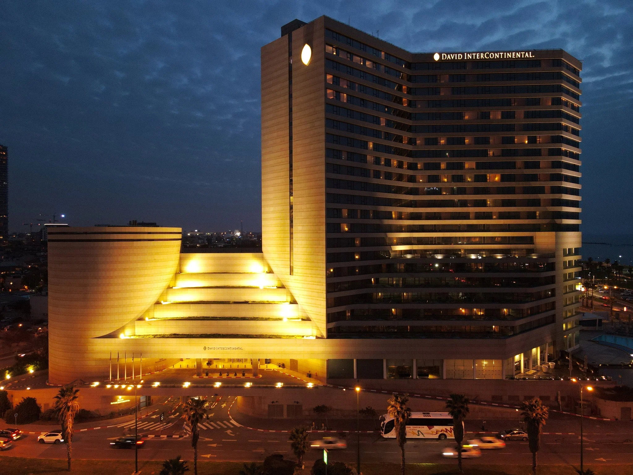
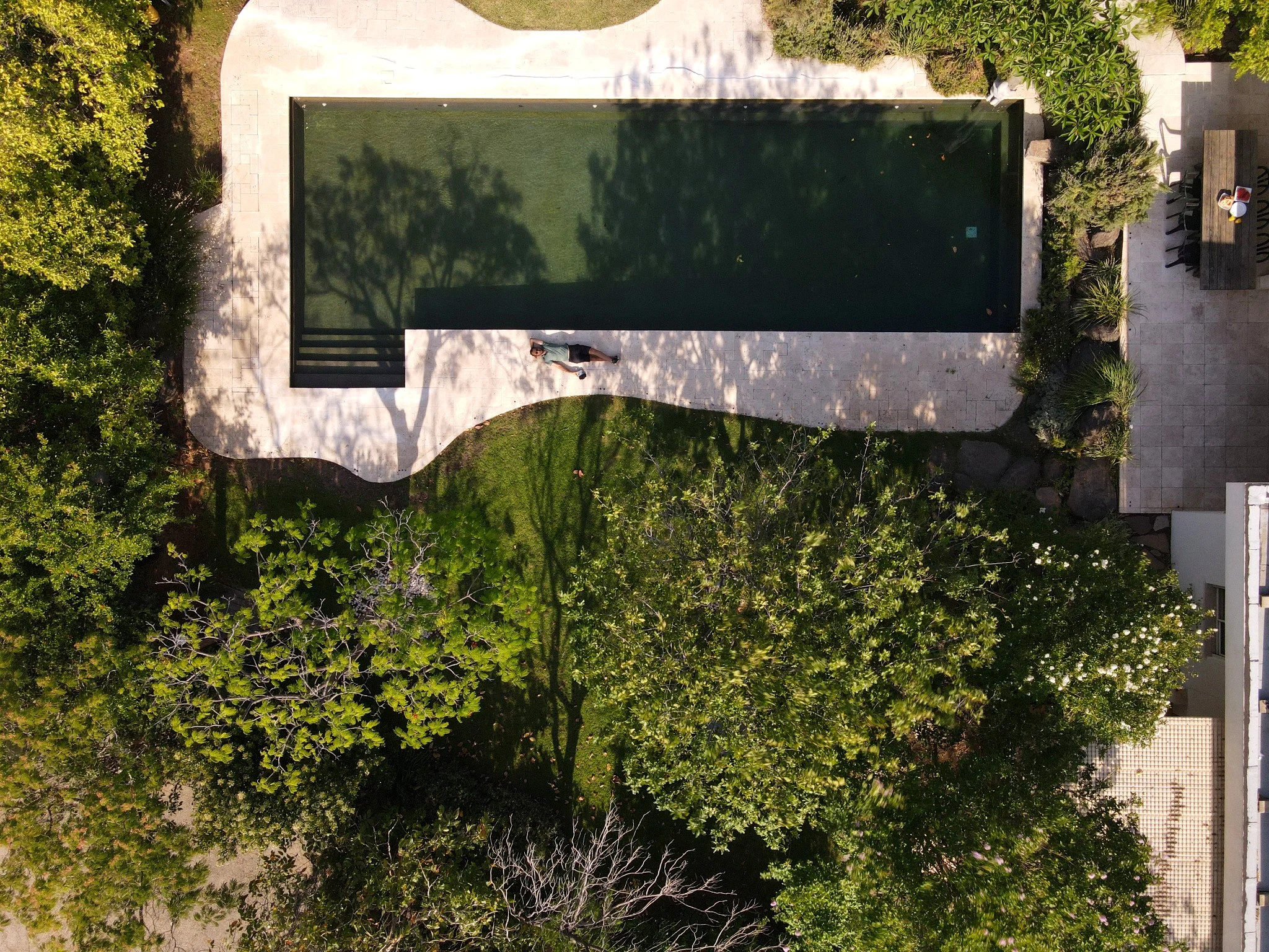
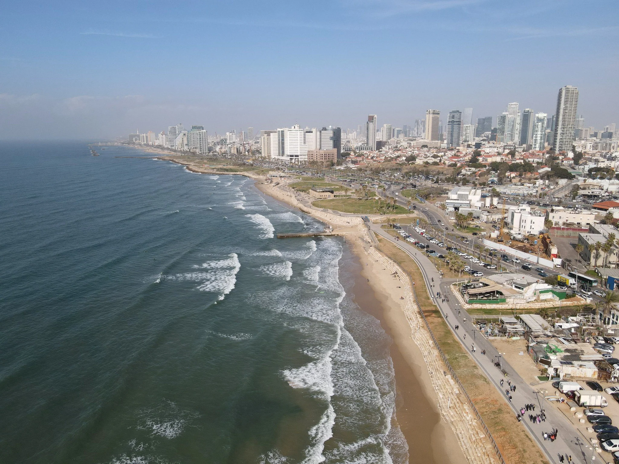
Hospitality & Placesמלונאות ומרחבים פתוחים
The full setting: hotels, terraces, coastlines and destinations.גגות, מלונות, אזורי אירוח וקו החוף. הצילום האווירי מספר מה נמצא סביב הנכס ולא רק בתוכו.
Why an aerial view
makes a difference.
A practical guide for the Israeli market: how aerial photography communicates architecture, construction progress and project context.
Read the guide (Hebrew) ↗02 / Expertise
From place
to perspective.
Architecture and completed buildings, construction progress, real estate development, hospitality, infrastructure and urban landscapes.
All aerial operations are subject to applicable regulations, airspace restrictions and required permissions.
Discuss your project